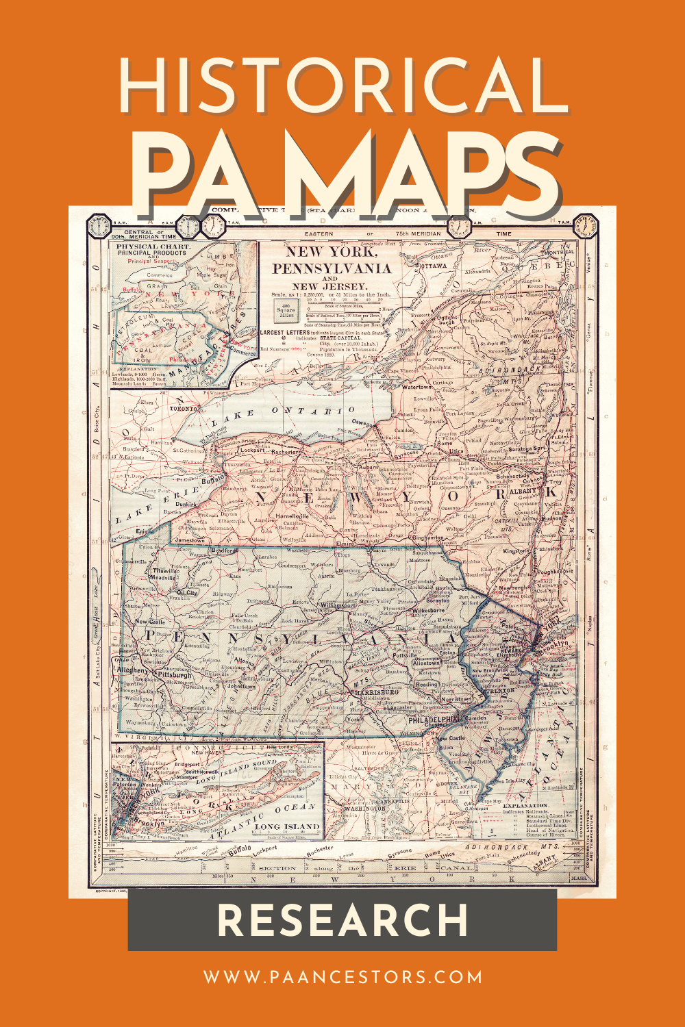
Methodology: Locate Ancestors and Activities on Maps
Step-by-step directions on how to find and use maps to expand your genealogy research and answer questions about your ancestors. Links to my favorite maps collections included.

One of the most powerful tools in your research toolkit is historical maps.
These maps can reveal where your ancestors lived, worked, and worshiped, helping you to piece together their daily lives and better understand their world. This article will guide you through the process of using historical maps to locate an ancestor’s home and activities, providing you with the skills to uncover new layers of your family history.
Why This Is Important
Using historical maps in genealogy research is crucial for several reasons:
- Visualize Your Ancestor's World: Maps allow you to see the geographical context of your ancestor’s life, including neighborhoods, natural features, and community landmarks that influenced their daily experiences. Details in records begin to "make sense" when we put them on a map.
- Identify Changes Over Time: Historical maps reveal how areas have evolved, showing old roads, defunct towns, or neighborhoods that no longer exist, which is invaluable for locating places that have changed over time. When trying to plot land descriptions in deeds, maps are essential.
- Find Hidden Resources: Maps often mark locations of businesses, churches, schools, and other community structures that your ancestors may have been involved with, providing leads for further research into their lives.
- Enhance Storytelling: Incorporating maps into your family history makes it more engaging, turning names and dates into real-life stories set against the backdrop of historical landscapes. We can also understand what an ancestor saw on his or her way to work, church, school, etc.
- Cross-Reference Data: Maps can help validate information found in other records, such as census data or city directories, ensuring the accuracy of your research. When trying to prove relationships between people, finding them on a map can provide evidence to make a solid case.
Overview of How to Use Historical Maps
To effectively use historical maps in your research, you will need to understand how to find, read, and interpret them. The process involves identifying relevant maps, locating your ancestor’s home or places of interest, and cross-referencing the map information with other historical documents. Here’s a structured approach to guide you:
- Identify the Time Period and Location: Determine the specific era and place where your ancestor lived. This will help you find the most relevant maps.
- Locate Digital Historical Maps: Use online resources to find historical maps of your area of interest. Many archives and libraries have digitized their map collections.
- Analyze the Map Features: Pay attention to roads, property lines, business names, and other notable landmarks.
- Cross-Reference with Other Records: Use the information from the maps alongside census records, city directories, or church records to get a fuller picture of your ancestor’s life.
Step-by-Step: Working with Digital Historical Maps
- Start with a Clear Goal:
Before diving into maps, define what you want to find. Are you looking for your ancestor’s home, their workplace, or a place of worship?
- Search for Relevant Maps:
Visit online repositories listed below. Use keywords such as the town name, municipality (township, borough, or city), county, or specific landmarks in your search.
- Select the Right Map:
Look for maps from the correct time period. Select a map from just before or just after the records you have collected. Consider maps that provide detailed street views or property boundaries, such as Sanborn Fire Insurance Maps for urban areas. Aerial photographs in the 20th century of farmland may provide details similar to a drawn map.
- Locate Key Features:
Identify landmarks such as churches, schools, or businesses that match your ancestor’s life events. Look for street names or property boundaries that align with addresses found in other records.
- Cross-Reference and Validate:
Compare the information on the map with census data, tax records, or other historical documents. Use map features to verify family stories, such as proximity to a church or factory where your ancestor worked.
- Document Your Findings:
Save copies of the maps and note the specific features that were relevant to your ancestor by annotating (drawing on) the digital copy. Incorporate the maps into your family history narrative, using them to illustrate your findings.
Resources for Historical Maps
Below is a collection of links to digital map collections for Pennsylvania research. I'll continue to add to this collection as new items come online:
